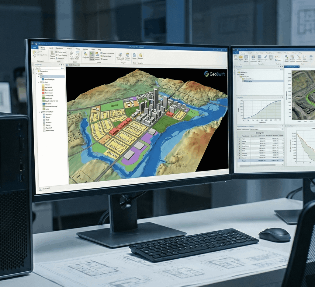
Advanced Spatial Analysis: Converting Data into Geospatial Intelligence
At GeoSwift, data capture is just the beginning. We specialise in transforming complex, multi-source spatial datasets—whether from aerial LiDAR, mobile scanning, or drone photogrammetry—into actionable, high-accuracy insights.
With over a decade of specialised experience, we move beyond simple data extraction. We apply advanced geoprocessing techniques to model real-world scenarios, solve complex geographical problems, and provide the analytical depth required by modern industries.
Tailored Analytical Solutions
We leverage the full spectrum of geospatial data to support diverse sectors:
Engineering & Mining: Precise volumetric calculations, slope stability analysis, and site progression monitoring.
Water Resources & Hydro Power: hydrological modeling, flood risk assessment, catchment analysis, and irrigation planning.
Urban Planning & Land Administration: Advanced land-use zoning, cadastral integration, and spatial data for property valuations.
Environmental & Disaster Management: Change detection for environmental monitoring and strategic planning for disaster response scenarios.
Don't just collect data; leverage it. We turn spatial information into the decisive insights needed for your next project.
